Photo 911 provides photo and video services on the ground and in the air. In addition to our experience as photographers and videographers, we specialize in aerial photography. by drone in and around Caen, Normandy.
Thanks to the official drone pilot’s license obtained from the DGAC (Direction Générale de L’Aviation Civile) for professional drone piloting. This drone pilot license means that we not only meet specifications as image professionals, but are also trained to comply with all safety processes before and during the service. Given the high stakes involved, it’s extremely important to comply with the regulations governing aerial piloting, which is why we take all the necessary precautions when flying drones. Each flight will be accompanied by a request for authorization from the prefecture, depending on the context and conditions. Please contact us.
We produce aerial photos and videos
We document the progress of your projects
Promoting the area, accommodation services and leisure activities
On the photographic and audiovisual front, you can rely on me to produce your photographs and videos, and more generally for your corporate communication needs. I produce dozens of reports every year in a variety of sectors, and regularly use my skills as a drone pilot in these services, shooting aerial images for local authorities, architects, factories, hotel services and so on. Together, we start by drawing up a set of specifications based on your requirements, I take care of the regulatory and legislative aspects, I travel alone or as part of a team anywhere in France, in Normandy and around Caen to take aerial and/or ground shots (aerial photos and aerial videos), then come the image processing chain, including retouching the drone photos or editing the aerial videos in 4K, and finally delivery within the desired timeframe. Discover the dedicated website: https://www.drone-normandie.com/
Photo 911 provides drone services in Caen and Normandy using versatile aircraft. We work with drones that offer the best video, photo and flight capabilities. These devices are lightweight, efficient and have optimum autonomy.
They are suitable for all types of flight and meet safety standards, although the latter is also ensured by our rigor in obtaining the necessary authorizations and complying with legislation.
Technically speaking, we film in 4K and photograph your activities in 48mp.
All post-production (retouching and editing) is carried out using professional software. Years of experience in the field have enabled us to master these programs.

Always with a view to providing a complete service and satisfying your image needs. Our aerial reports are very often accompanied by ground shots. To achieve this, we are equipped with the very latest high-performance photo and video cameras.
These are cameras with resolutions ranging from 34 to 100 million pixels, and sensors considered to be the best on the market. These are accompanied by a wide range of lenses of different focal lengths, each with its own renowned optical qualities.

This latest-generation professional drone is equipped with a sensor designed by the renowned Hasselblad brand, legendary supplier of the first cameras on the moon. It is equipped with a multitude of sensors capable of detecting any obstacle and ensuring optimum safety. It also features intelligent automated flight systems.

Visit Sony A7IV is the benchmark for new-generation hybrid cameras. Size and weight en make this an ultra-versatile camera suitable for all types of reportage. Its highly efficient autofocusing means it can be used for both photography and video for professional results.

Thanks algorithms, stabilizers are able to compensate for involuntary movements (vibrations, etc.). The SC2 is one of our work tools, offering immense responsiveness and several different modes for optimal results.
As explained above, flying and taking aerial photographs with a drone involves certain safety rules and authorizations. Depending on the location of the theft, several scenarios are possible, such as S1, S2 or S3. These meet various criteria, such as the maximum height and flight distance authorized for the drone, the remote pilot’s vision of the aircraft, and above all the type of intervention zone on land (built-up area, industrial zone, natural zone, etc.). Some prefecture authorizations take several days to process.
TAKE-OFFS PER YEAR
FLIGHT HOURS
REGIONS OVERFLOWN
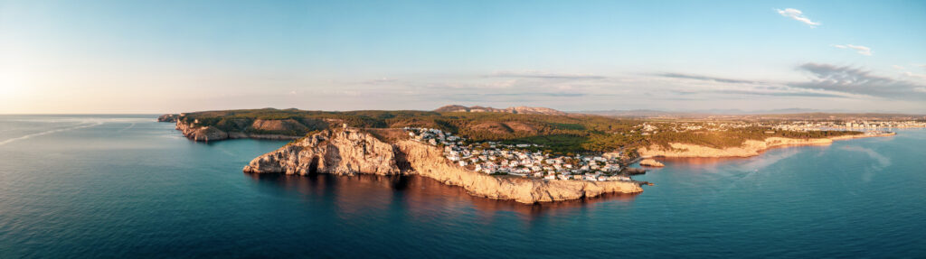
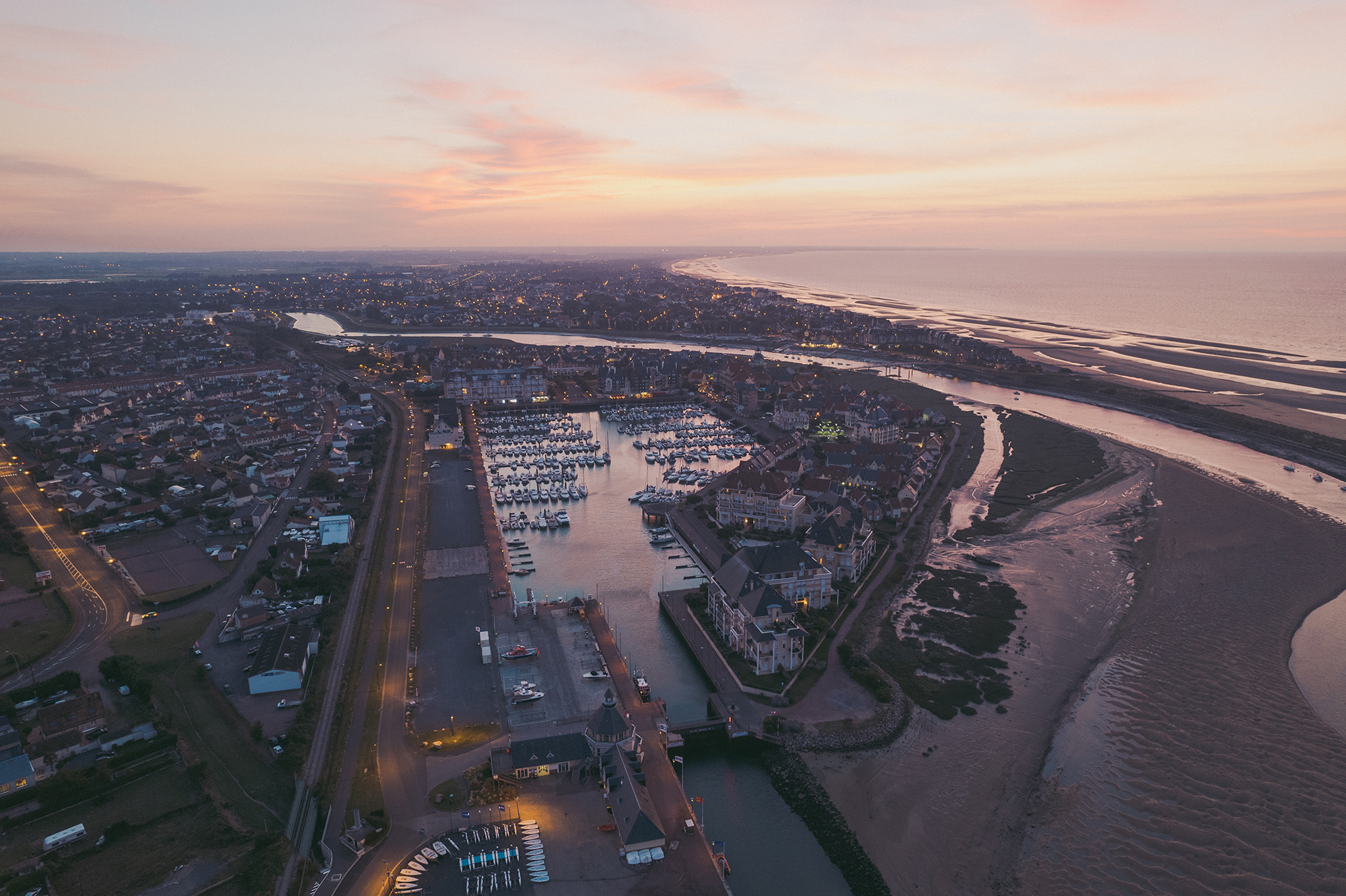
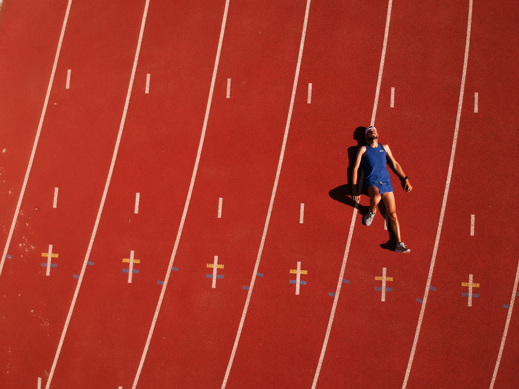
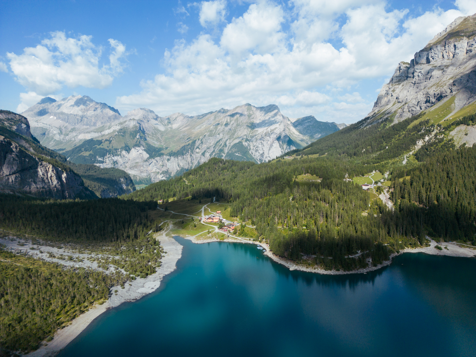
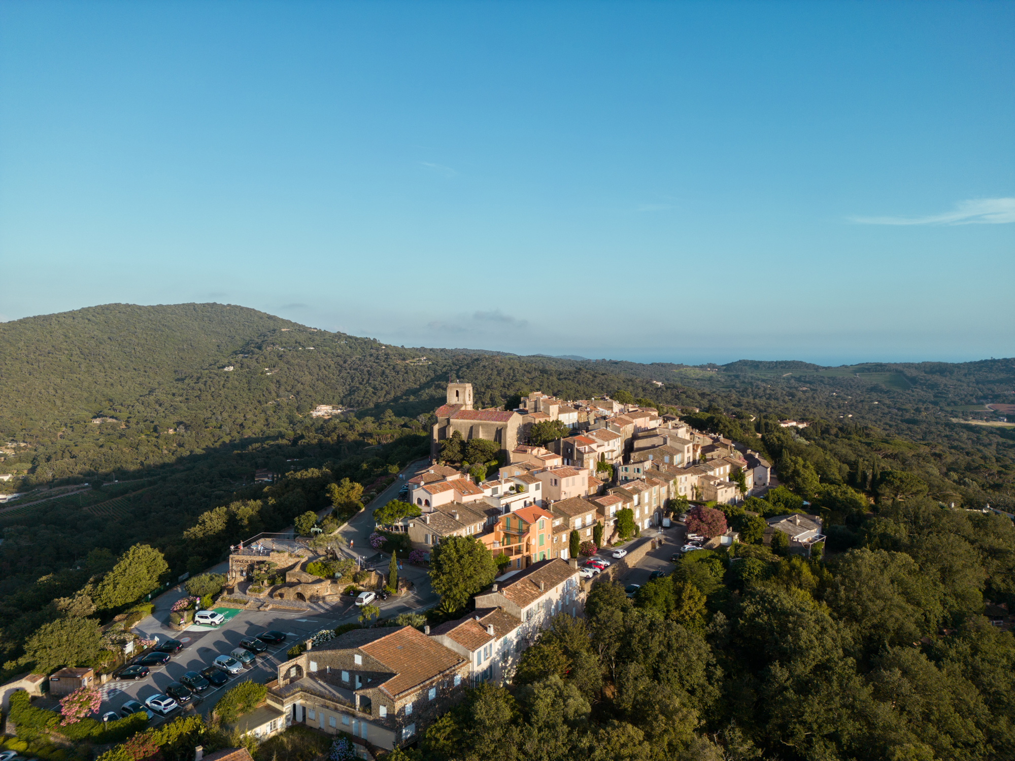
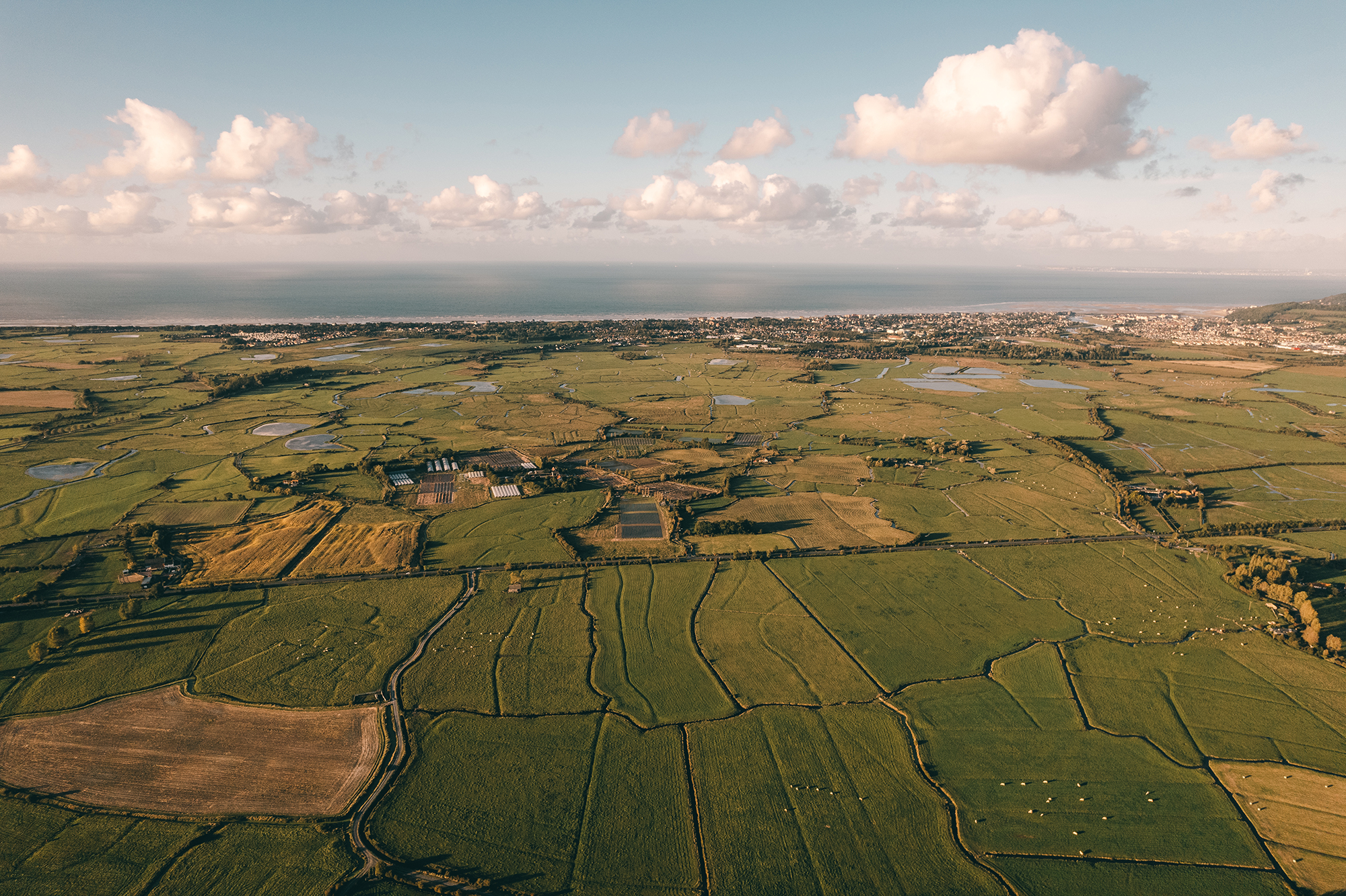
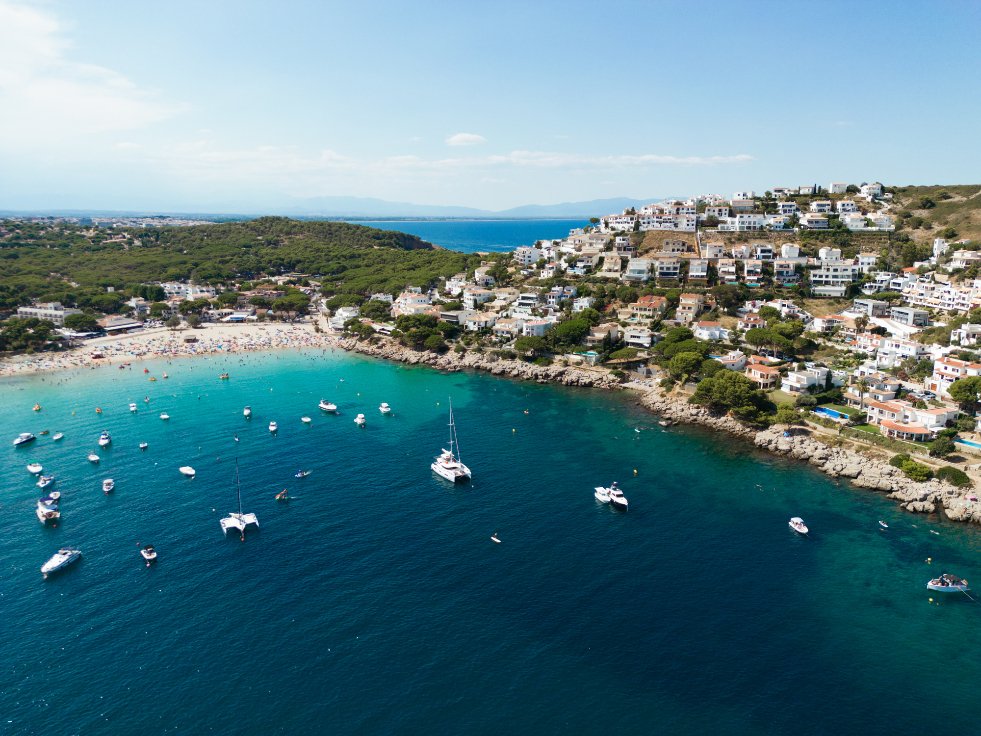
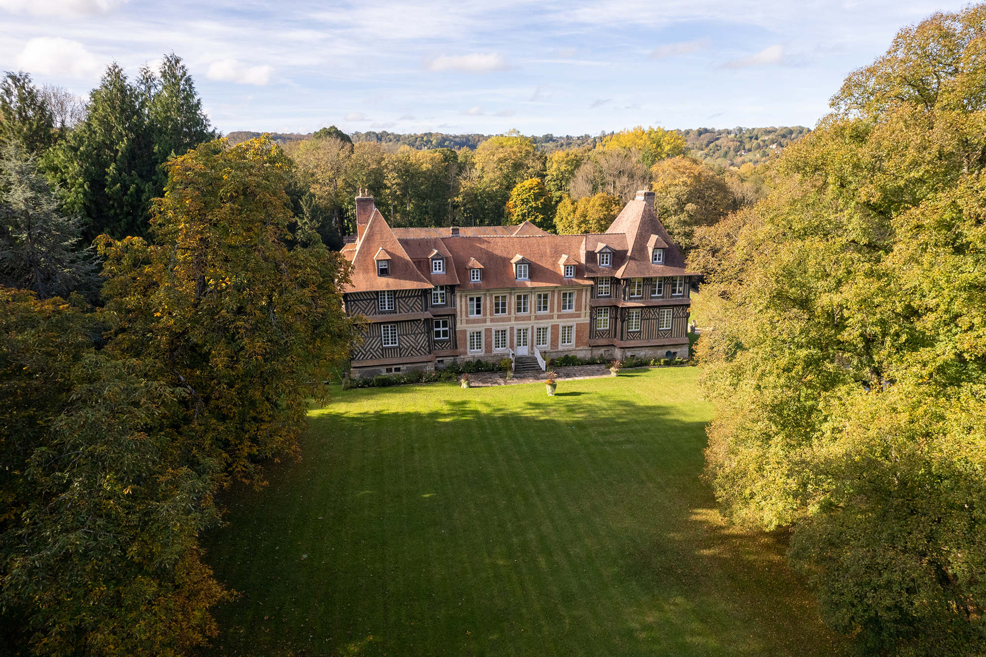
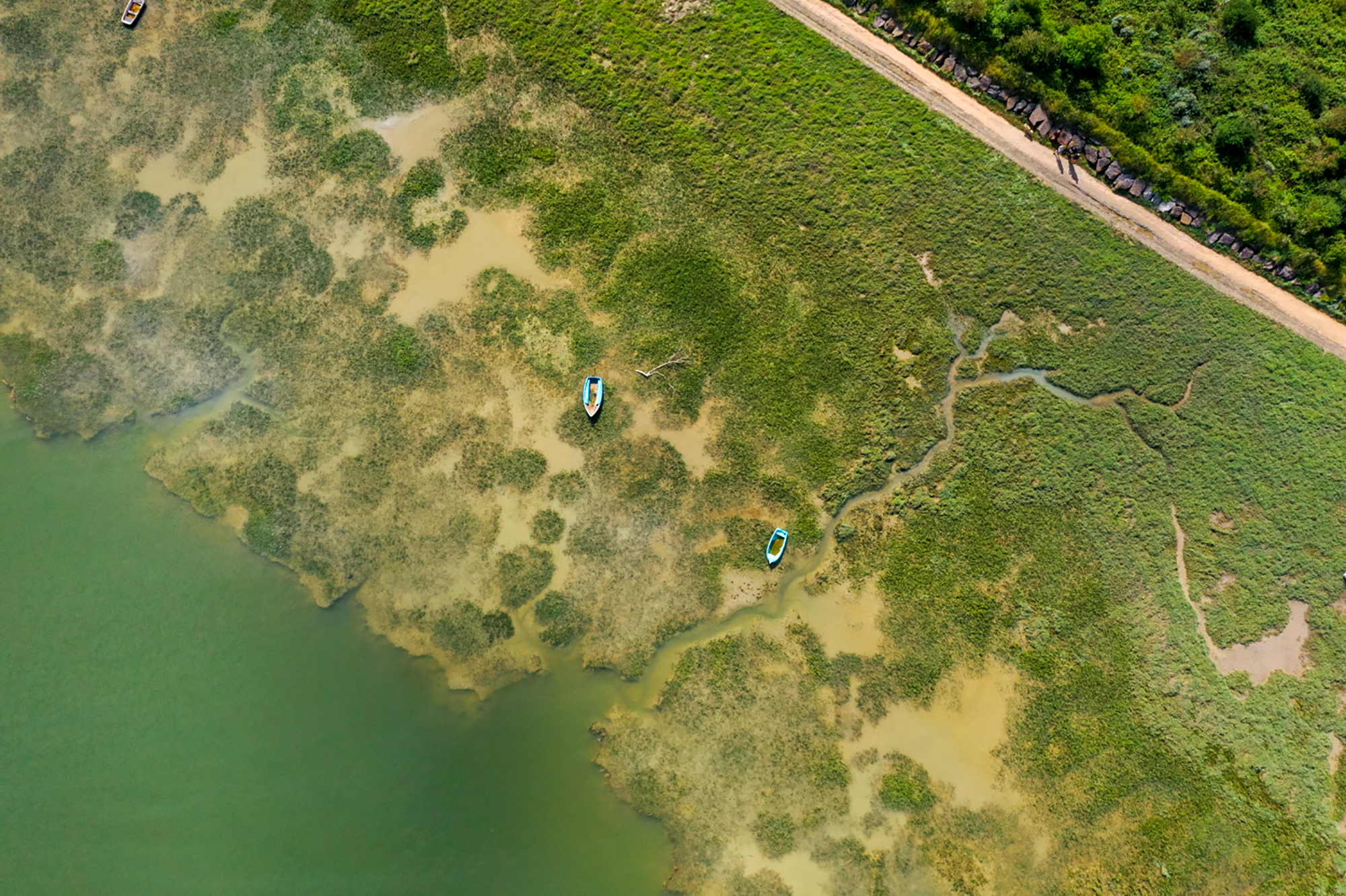
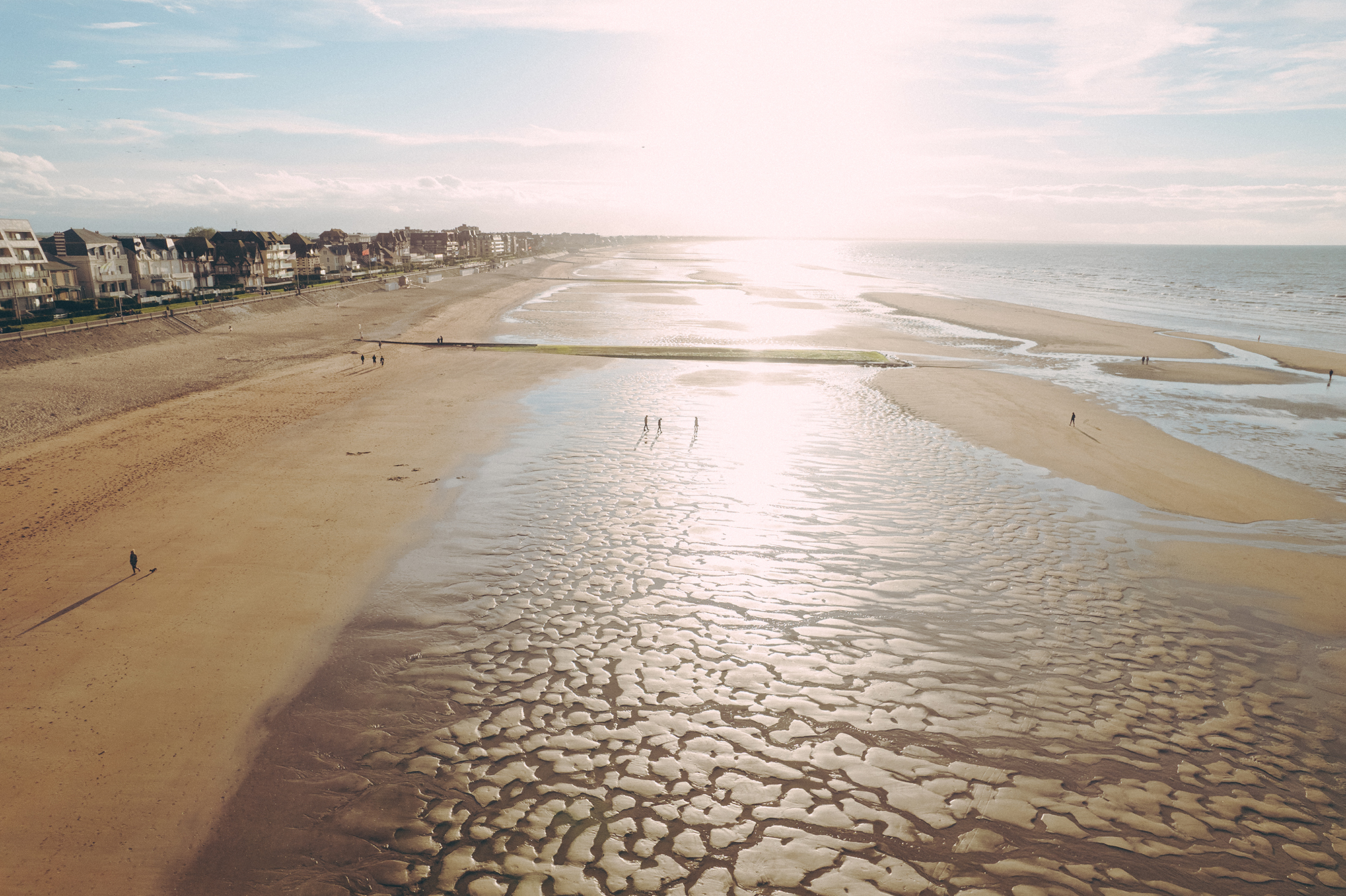
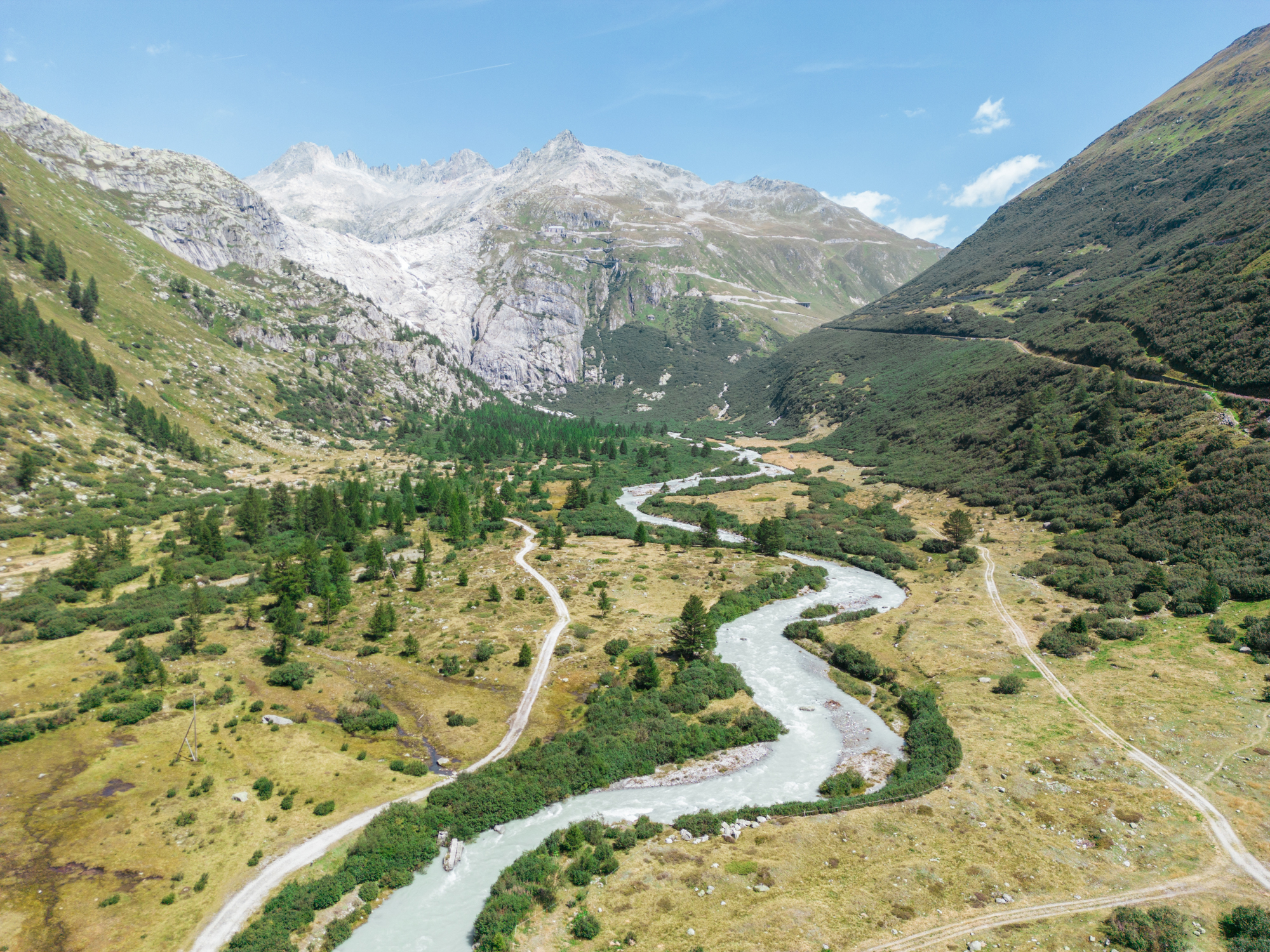
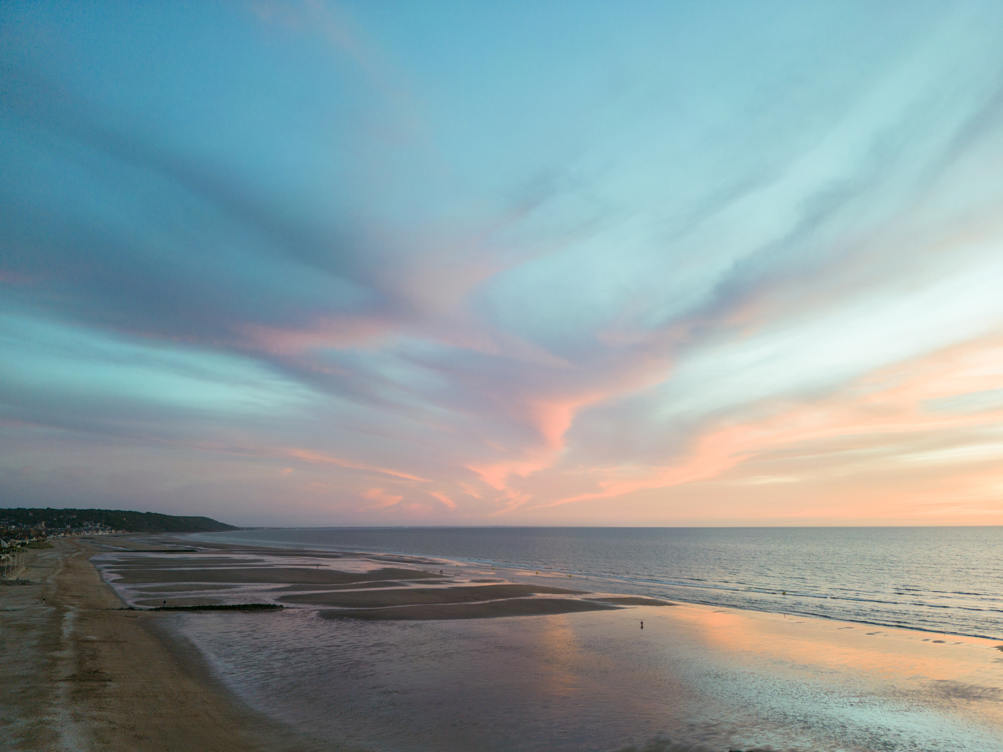
Greatly appreciated by all, they mark a new turning point in the audiovisual world, thanks to modern, innovative views of your activities that were previously impossible without a helicopter. Drone photographers can convey a variety of messages through their creative work. We can showcase your business, the scale of your infrastructure, the beauty of a region, or simply make people dream. An aerial shoot allows you to communicate your projects with stunning and original photographs and videos, while ensuring that you leave a lasting impression on your customers and partners!
Drone regulations in Caen. Map of aeronautical visual flight rules around Caen and Calvados.
This map is produced every year by IGN and the Service de l’Information Aéronautique. It illustrates control zones, airports, wind turbines, parachute spots and more. Drone pilots are obliged to refer to it before a flight, in order to comply with all safety regulations.
Aerial drone photography is a photography technique that has developed rapidly in recent years. This method involves using a drone to take photos or videos from a high location. Aerial drone photography offers many advantages for professionals in different fields, such as real estate, construction, tourism, agriculture, energy and more.
An exceptional overview: drone aerial photography provides a unique, panoramic overview of a site, region or building. This allows you to see the site from a different angle and better understand its environment.
Time and efficiency savings: drone aerial photography can be carried out quickly and without interruption, avoiding the production delays that can be caused by other methods such as ground photography. What’s more, the drone can reach hard-to-reach areas without disrupting on-site activities.
Cost savings: drone aerial photography is often more economical than other methods, such as hiring a helicopter or plane. What’s more, using a drone reduces personnel, transport and logistics costs.
Image quality: The images produced by a drone are of the highest quality and can be used to create topographical maps, 3D models, architectural plans, environmental simulations, etc. Images can also be used to document the condition of a site over time.
Flexibility: Aerial drone photography can be carried out at any time, regardless of weather conditions. This means you can get the images you need, when you need them.
In conclusion, aerial drone photography offers many advantages for professionals in many fields. It can be used to view sites from a different angle, save time and money, obtain high-quality images and be carried out at any time. If you need aerial photography, don’t hesitate to call on a professional drone photographer.